Our 2026 Leaderboard


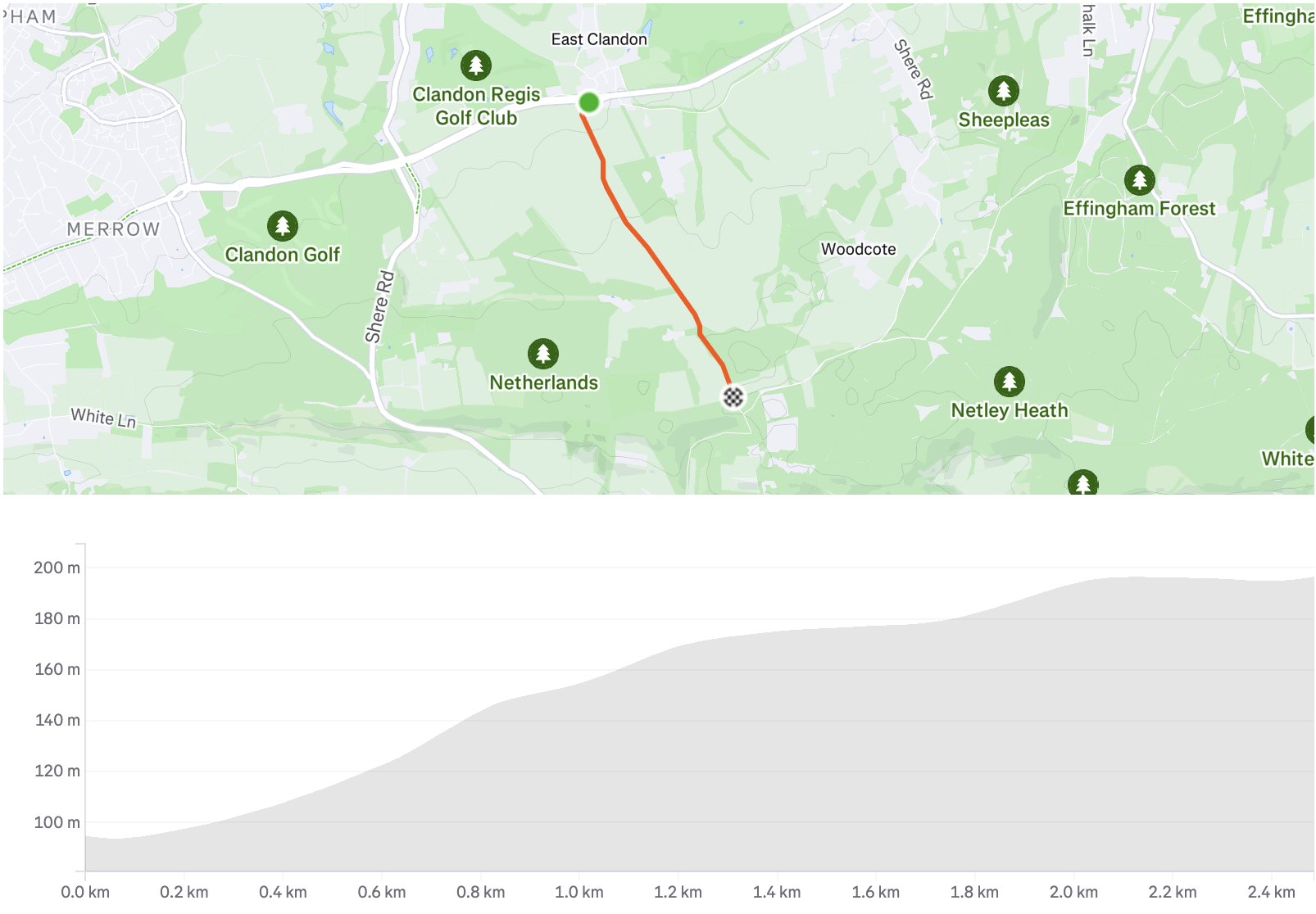
Staple Lane
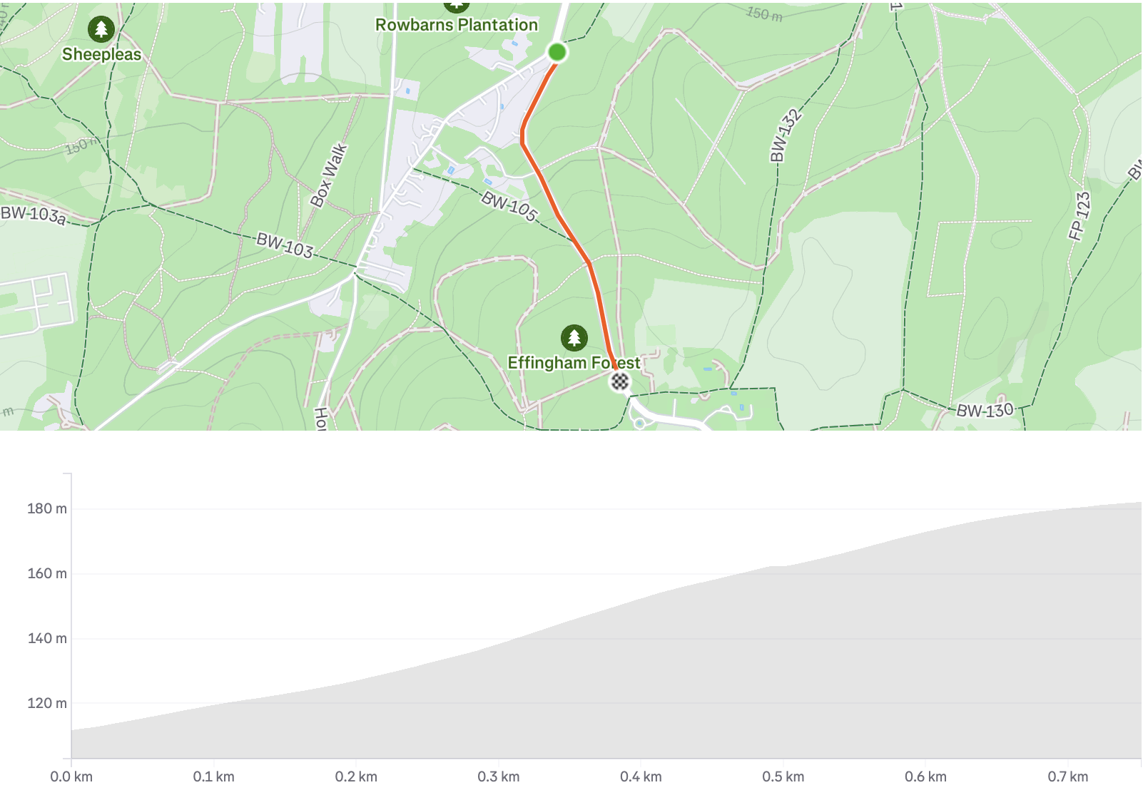
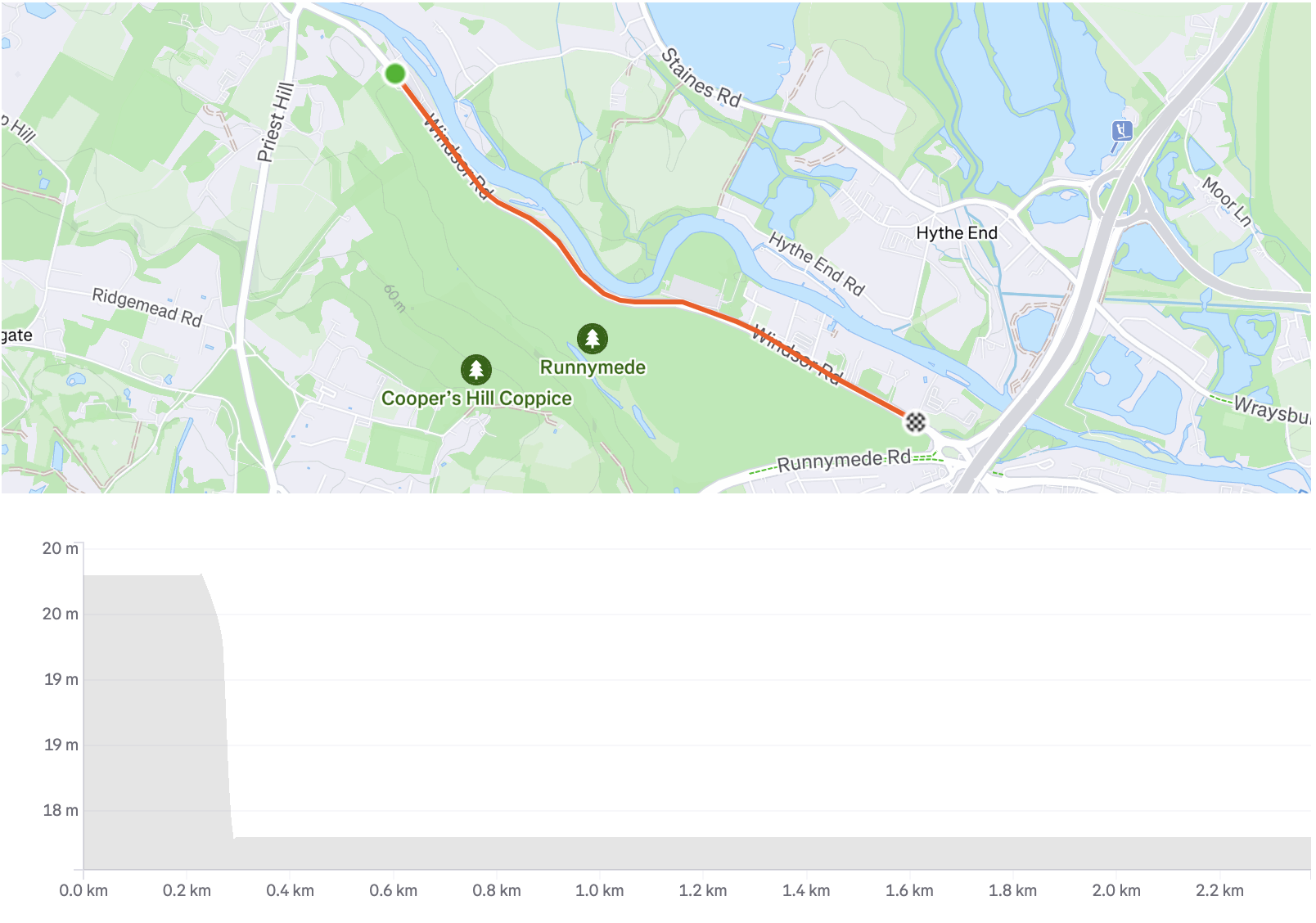
Crocknorth
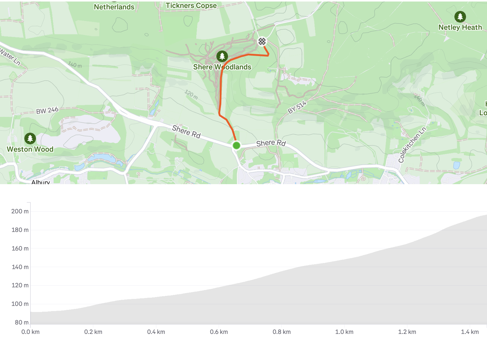
Combe Lane
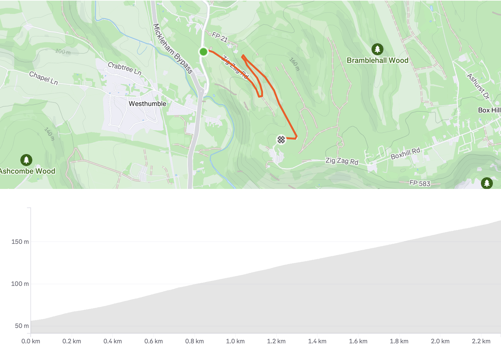
Box Hill 2.2K
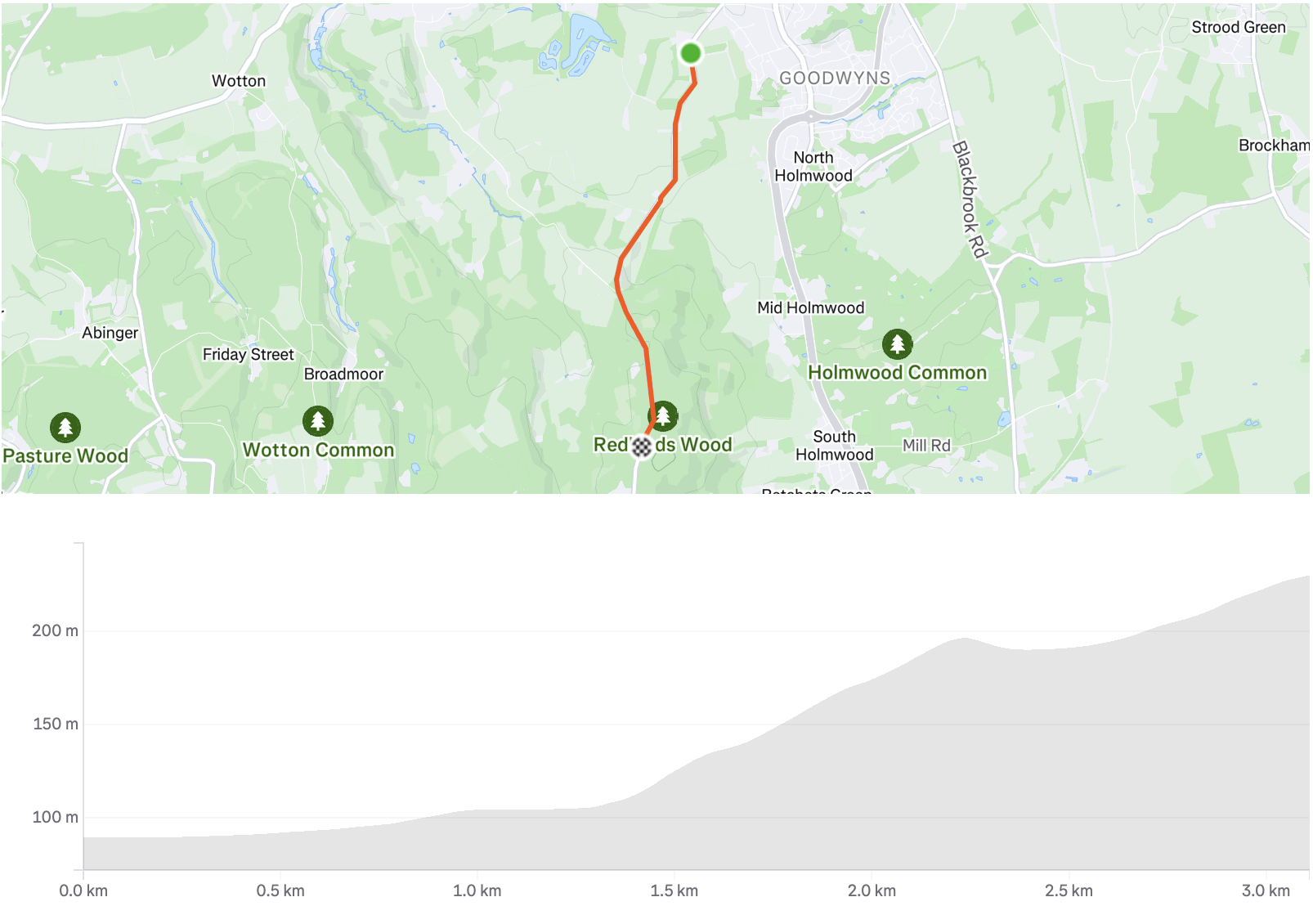
Coldharbour Lane
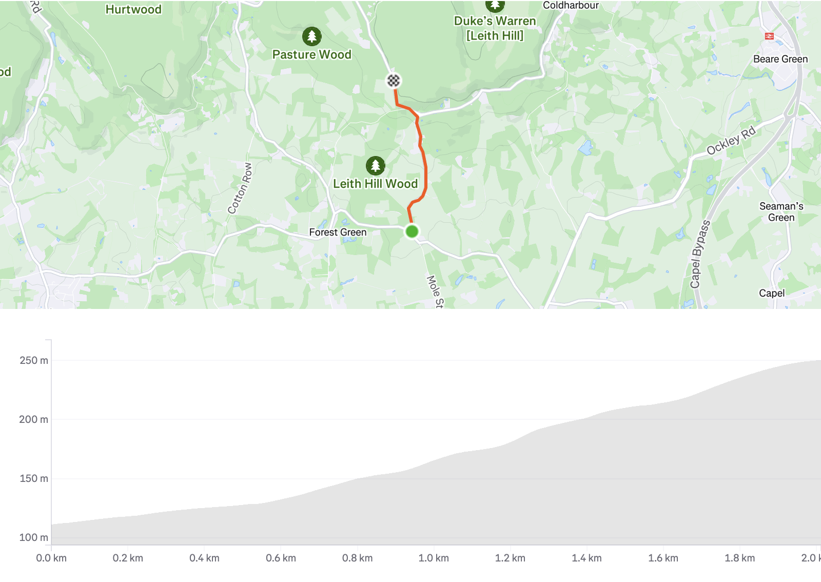
Leith Hill

White Downs
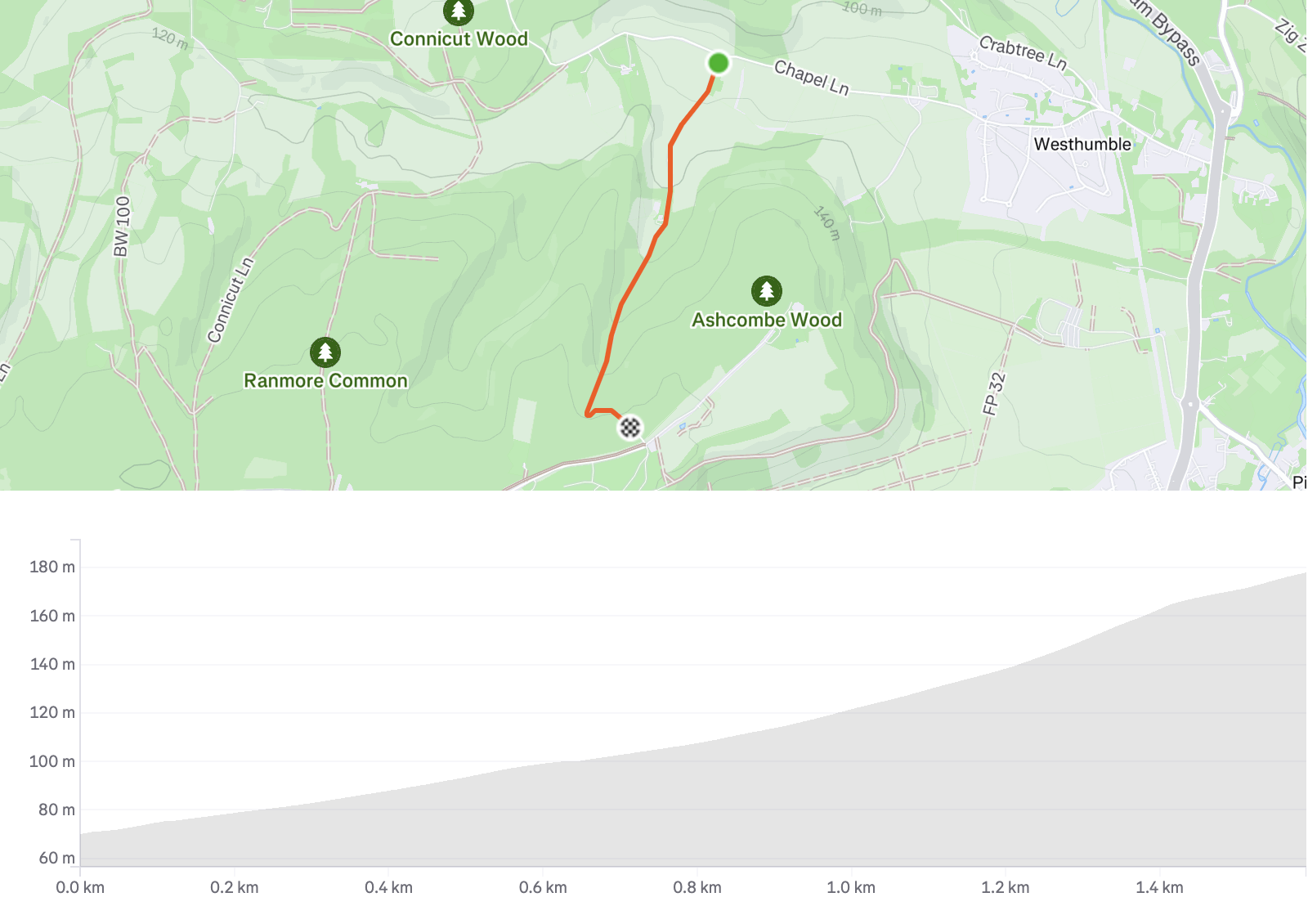
Ranmore Common Road
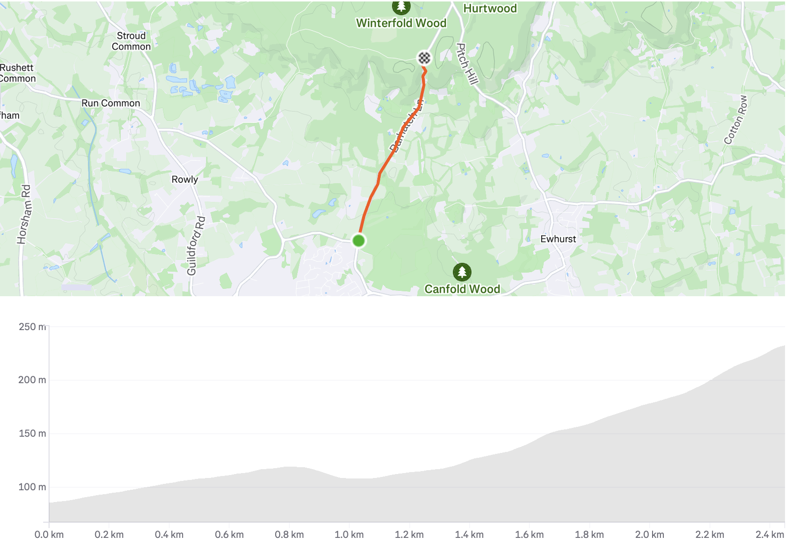
Barhatch Lane
Gate to Gate
Important: This leaderboard collects data from Strava ONLY when your privacy settings are set to public.
- If you wish NOT to be featured on the leaderboard, please adjust your privacy settings on Strava
- If your activities are set to private, your name will NOT be published and you will NOT participate in our Leaderboard challenge
- By participating with public settings, you consent to your name and segment times being displayed on the Surrey Cycling Club leaderboard
The Surrey Cycling Club ("the Club") maintains an individual effort recognition leaderboard via the Strava website's cycling segments. This leaderboard's goal is to inspire an active lifestyle and honour members who excel in these segments through gifts or tokens of recognition. These tokens are not just provided by the Club but also generously gifted by our friends and partners.
Please read the following Terms and Conditions carefully as they regulate your use of this leaderboard.
Participation: The Club does not host these segments as group activities or organise them as races or events. Each individual member decides when and how they wish to engage with these segments, and all participation is voluntary.
Gifts and Tokens of Recognition: The Club, alongside our generous friends and sponsors, may provide gifts or tokens of recognition to members who demonstrate exceptional effort. These are not awards for 'winning' but rather acknowledgements of individual endeavours.
Risk and Safety: Members who engage with these segments do so willingly and are responsible for assessing the involved risks. The Club fervently encourages adherence to the Highway Code at all times and promotes responsible cycling habits. The Club is not liable for any accidents, incidents, injuries, loss or damage which may occur during a ride.
Insurance: The Club advises all its members to have adequate insurance cover for all cycling activities, both within and outside of the Club. We have established a partnership with Sundays Insurance, who offer specialist bicycle insurance. Our Club members are eligible for a 10% discount on their policies. For further details, please visit the Sundays Insurance page and use the discount code: BIKE22.
Liability: Members acknowledge that engagement with the leaderboard activities, either solo or in a group, is at their own risk. The Club, its officials, and members, will not be held accountable for any injury, loss, or damage suffered as a result of participation.
Compliance with Laws: Members commit to adhering to all applicable laws and regulations, including but not limited to speed limits and the Highway Code. The Club does not endorse any form of reckless or dangerous cycling and maintains the right to suspend the Club membership of those who do not comply with these regulations.
By engaging with the Surrey Cycling Club leaderboard activities, you are consenting to these Terms and Conditions. If you do not agree with any aspect of these Terms and Conditions, please refrain from participating. We reserve the right to update these Terms and Conditions at any time, and your ongoing participation after such changes will indicate your acceptance of the changes.
Thank you for your cooperation, and we wish you enjoyable and safe cycling!
Updated: 04.01.2026